
Interpretive Hike: S Mountain / Backbone/ Cottonwood Gulch Loop
11/25/2022
| 08:30 AM - 03:00 PM
Arkansas Headwaters Recreation Area
| Registration Required
Special Events - All Ages
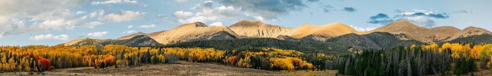
See linked document for full description of this hike. Hike Overview: From the parking area, we head east to the southeast terminus of the Frontside Trail and use this trail to ascend the west (where we will take a short side walk just past Duke’s Memorial to an overlook east of the trail to study a possible location of a crater of the Tenderfoot Volcano) and north sides of “S” Mountain, along which we have lovely views to the north and west, to the intersection with a new park and the head of Spiral Drive. We complete the ascent of “S” Mountain on Spiral Drive and walk up the stairs on the building at the top of the mountain at 7580 feet where we enjoy outstanding views of the valley to the north/west/south in front of us. We descend Spiral Drive a short distance to pick up the Lil’ Rattler Trail and follow it east (over the possible north and northeast rim of the volcanic crater) to the intersection with CR 173 where we pick up the Backbone Trail and turn south and southeast down toward its intersection with the Lower Sand Dunes Trail. We hike along and down ridges thru very different volcanic deposited hills (volcanic material very different from that of the “S” Mountain deposits) with rugged deep-cut gullies. We will stop for lunch just before crossing the bottom of Sand Dunes Gulch where we dip into interesting crustal rock and, then, climb back out of the bottom of the gulch on the Backbones Trail to soon enter volcanic rock deposits once again. On this southern section of the Backbone Trail we encounter terrific views, to the south and west, of lower Cottonwood Gulch and the surrounding hills and mountains. As we drop into Cottonwood Gulch and pick up the Gulch streambed, we transition back into deep crustal rock with predominantly diorite and gabbro of the Mesoproterozoic. There is a plethora of interesting rocks in the Gulch streambed (great for rock hounding) and side walls of Mesoproterozoic rocks. Near the west end of the Gulch, we pass through a stream cut of the volcanic outflow of the “S” Mountain volcano where most of the six volcanic eruption flows can be identified and observed. When exiting Cottonwood Gulch, we join the Rise-N-Shine Trail on which we hike nearly a half mile north right beside the volcanic flow from :S” Mountain before turning west to return to the vehicles.
Maximum Participants: 14Registration is required for this activity. Click "register" to reserve your spot.
Links General Info
Registration Info
Activity Registration Closed
Registration is not currently enabled. Check the calendar for more activities
CancelWaitlist
Activity Contact
(719) 539-7289